

VitinaMount MenaloArcadia
Out the door, into Menalo
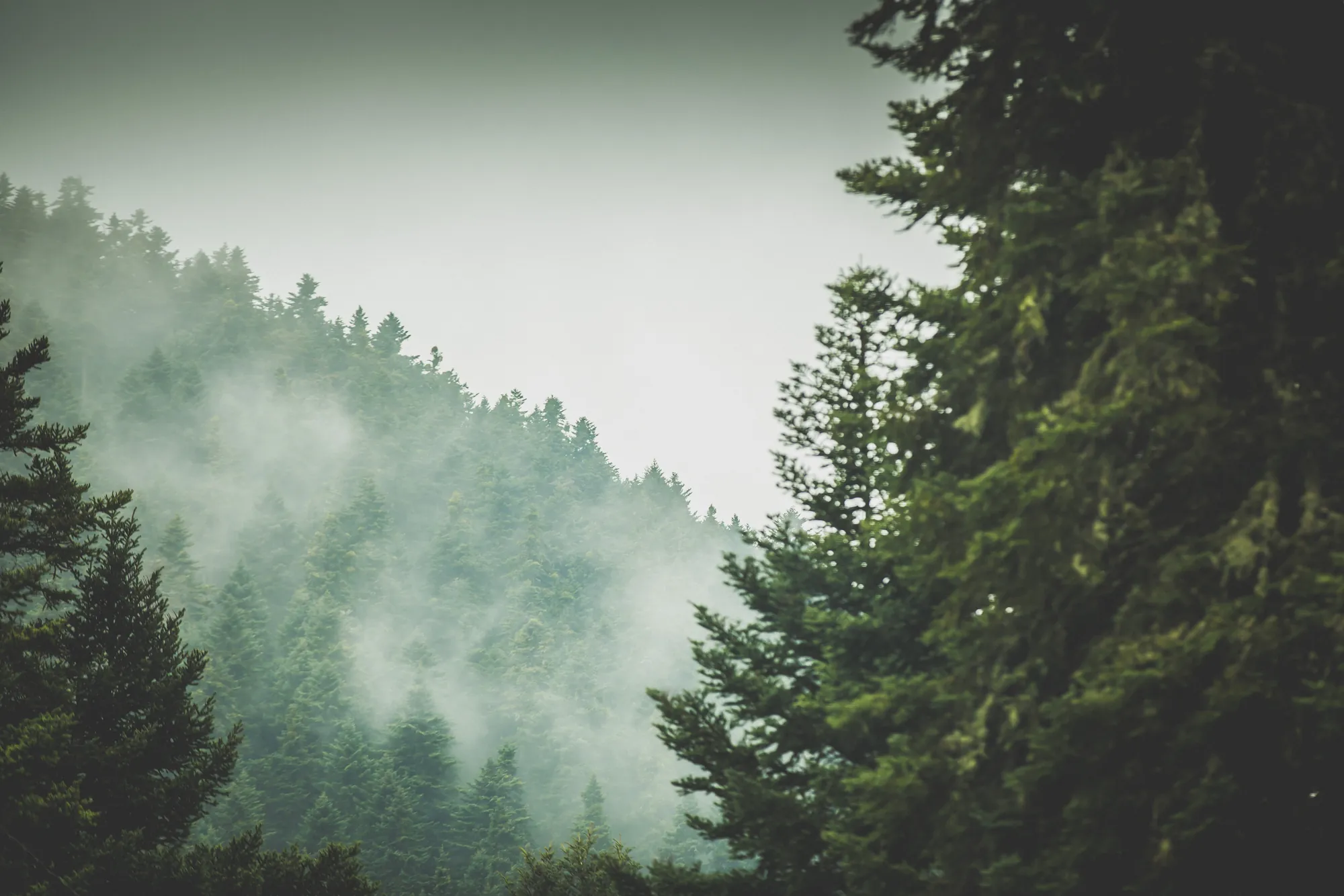
Fir forest, snow, a river gorge and stone villages, all within about fifteen kilometres of Vitina.
What to do ↓01 The mountain
The house stands at the foot of Menalo, and the trails, the snow and the Lousios gorge are close by.
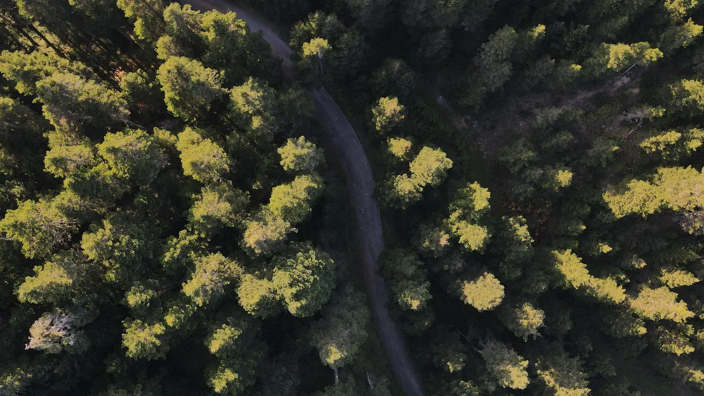
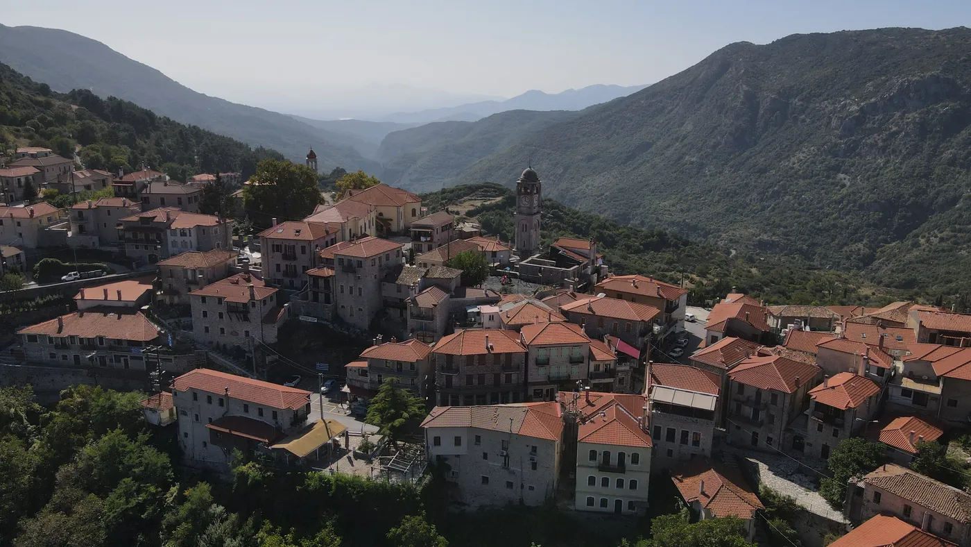
Vitina lies at about 1,036 metres, in a fir forest that stretches from the Tripoli plateau to the Lousios gorge.
In winter there is snow and a ski centre up the road. In spring and autumn there are paths and streams, and in summer, shade and cold water. Below, what we would do, with the distances.
02 By season
What the mountain does, month by month.
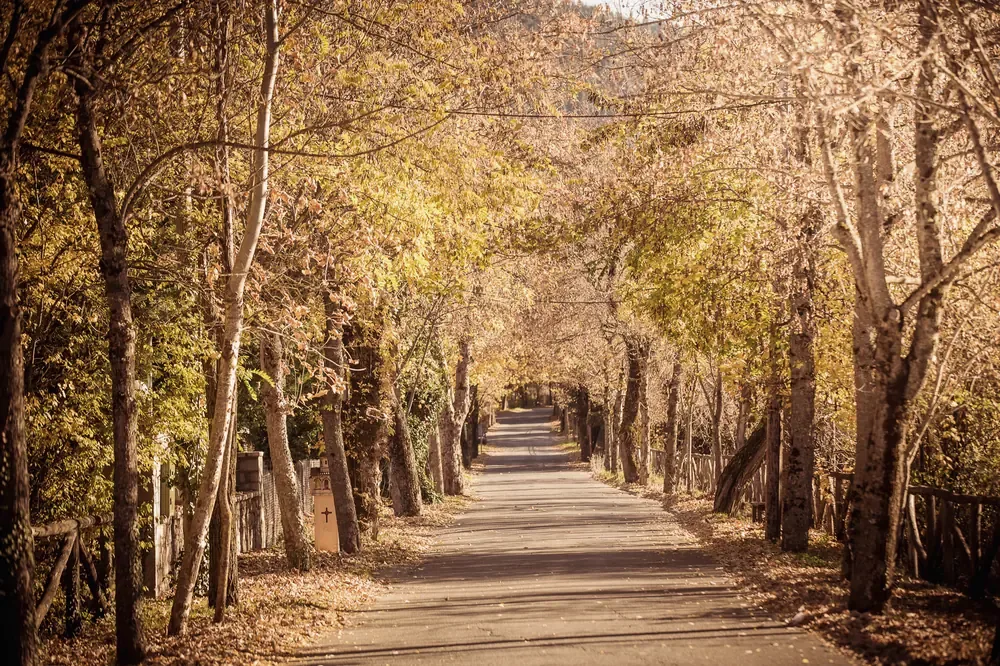
Autumn
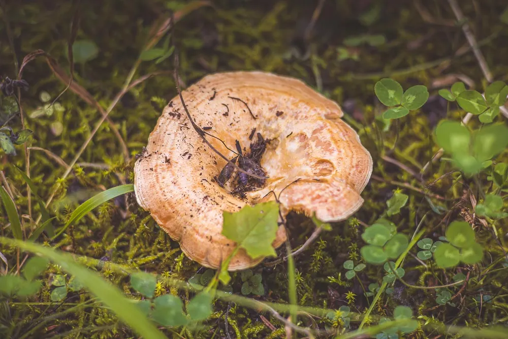
Mushrooms and cyclamen along the paths. September and October are good months for the trail.
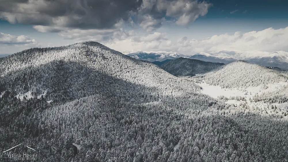
Winter
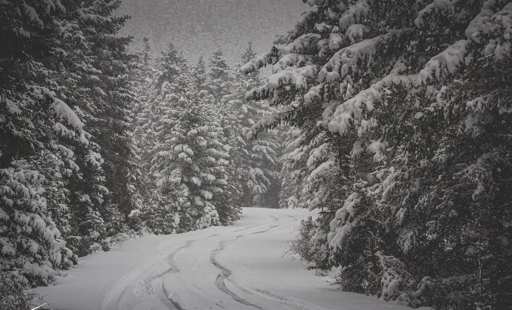
Snow on the firs, a ski centre up the road, and a fire to come back to.
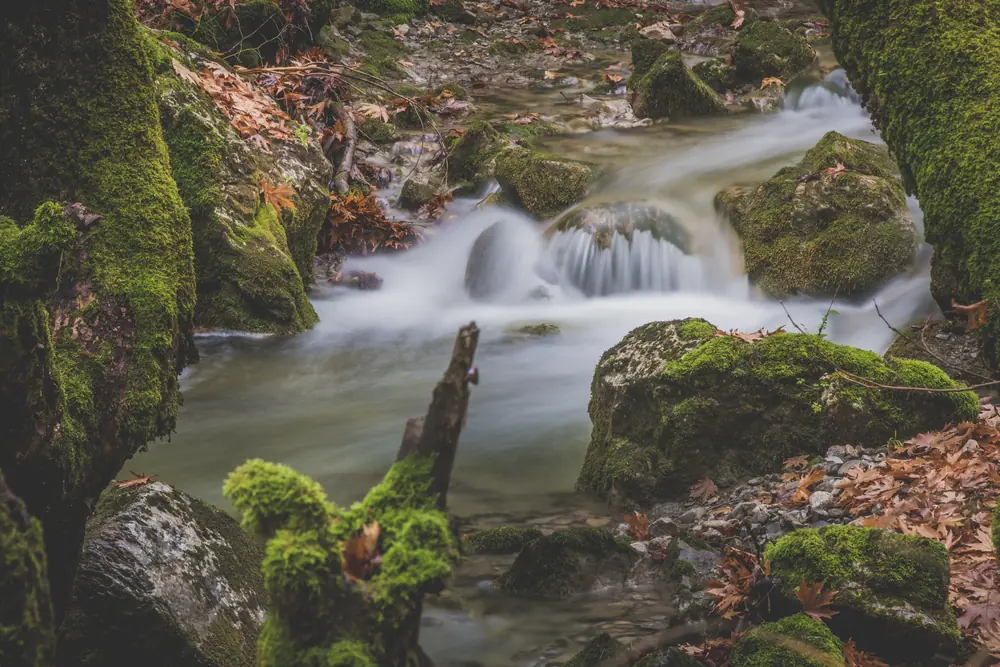
Spring
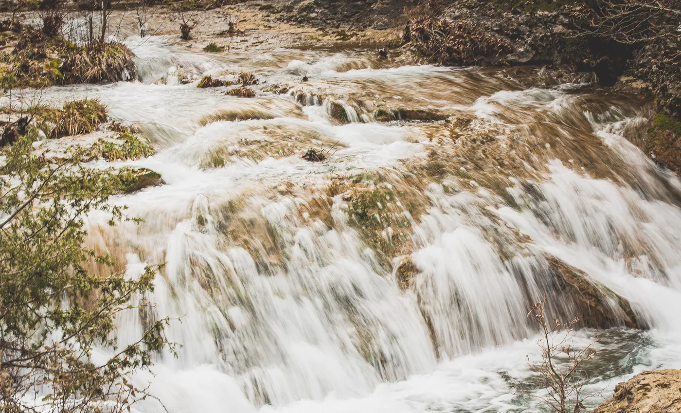
Meltwater fills the streams. Late April to May is the best time for the Menalon Trail.
Summer
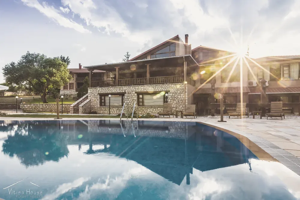
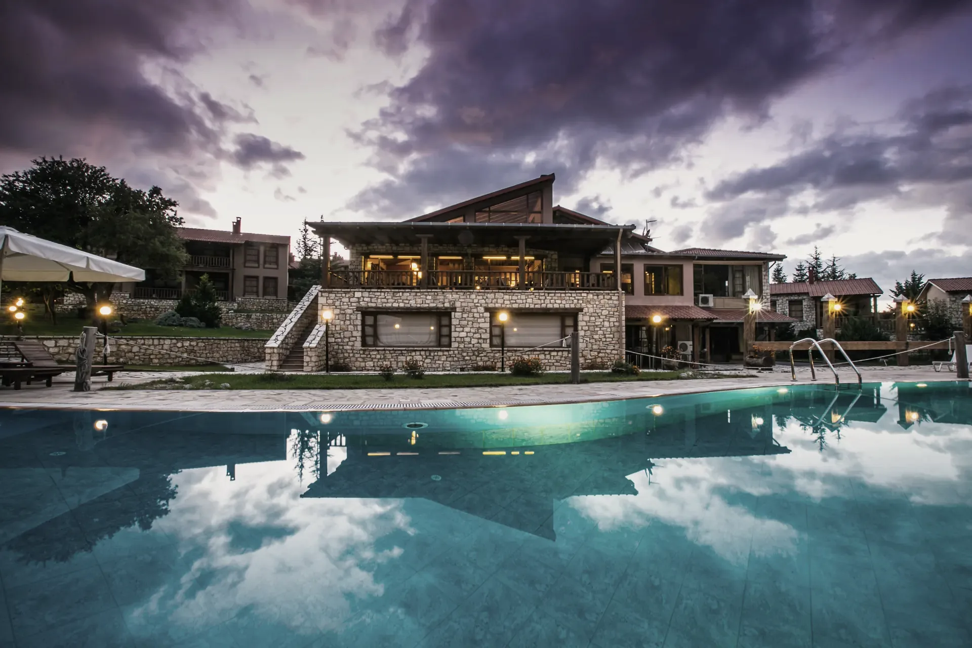
Shade under the firs, cold water in the gorges, and the pool at the end of the day.
01 The forest
Walking under the firs.
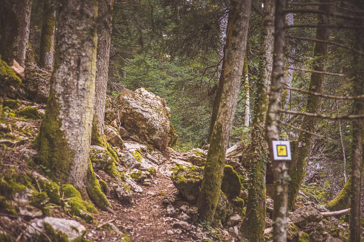
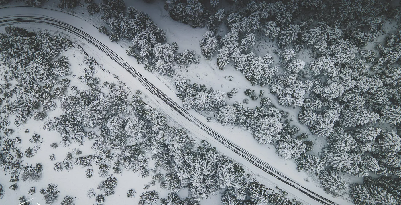
The firs begin behind the village and run on towards the Lousios gorge. Streams cross the paths, and in places the waymarks are clear. The Menalon Trail passes through Vitina, nine kilometres from Elati on one side and twelve to Nymfasia on the other.
Walk one stage, or give it an afternoon.
- Distance
- From the village
- Season
- All year; late April to May is best for the long trail
- On foot
- Elati 9 km, Nymfasia 12 km
02 The snow
Skiing and snow on Menalo.
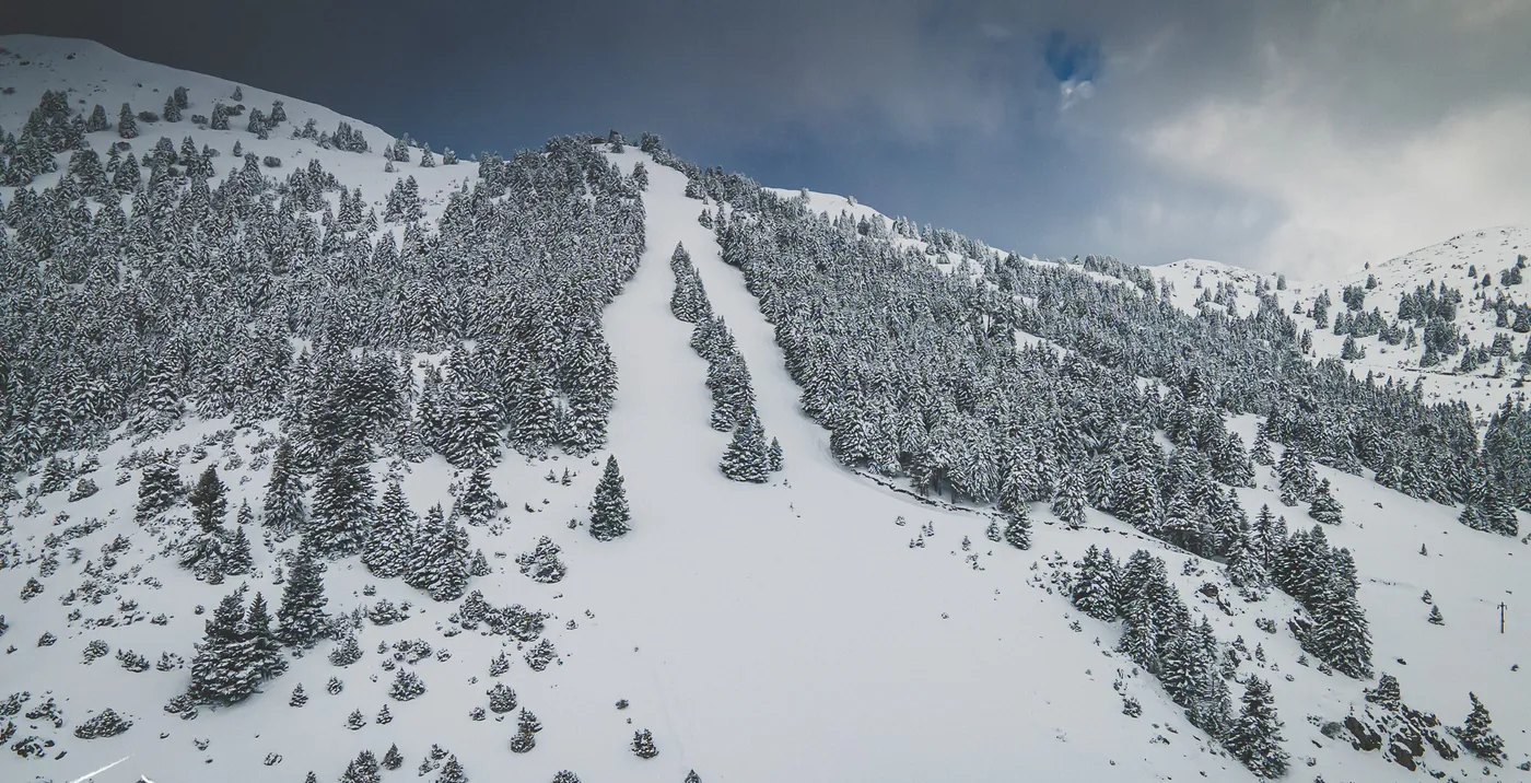
The Mainalo ski centre is at about 1,600 metres, at the site called Ostrakina, around fourteen kilometres from Vitina. It has eight runs, about 6 km in all, and four drag lifts. The road by way of Levidi is the better kept in snow.
Opening days and road conditions change from week to week. Check before you drive up, or ask us.
- Distance
- About 14 km from Vitina
- Altitude
- 1,600 m
- Season
- Winter, when there is snow
03 The horses
Horses in the forest.
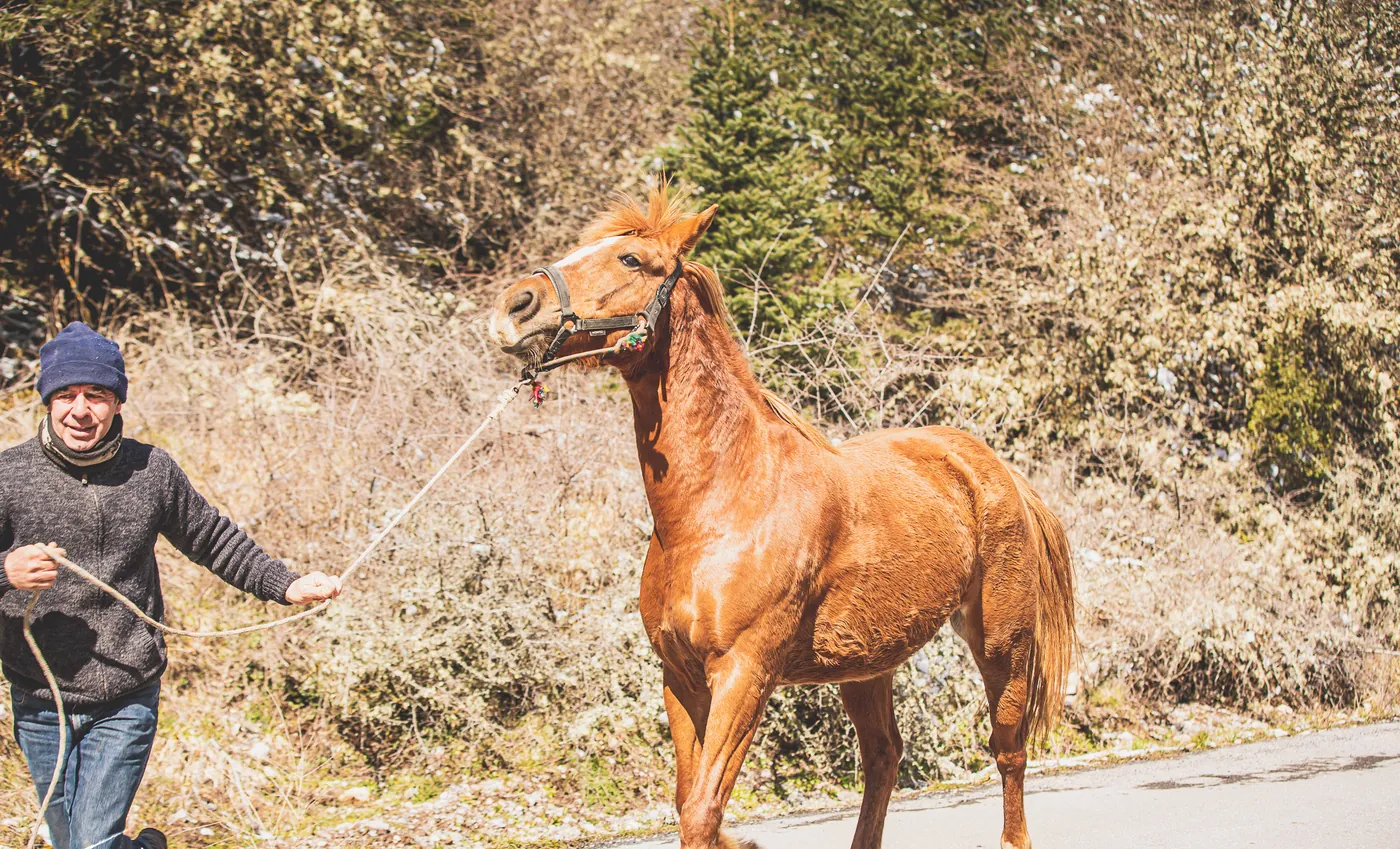
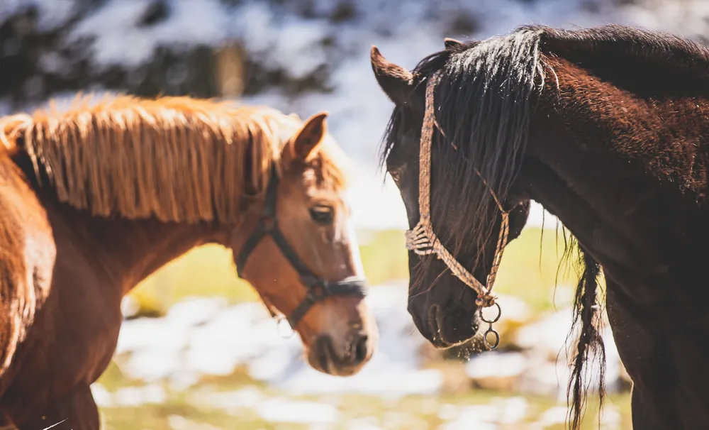
Riding in the forest of Vitina is among the activities we list for the region. What is possible depends on the season and the weather, so ask at reception, or write to us before you come.
- Season
- Year-round, weather permitting
- Ask
- At reception or by email
04 The gorge
The Lousios gorge.
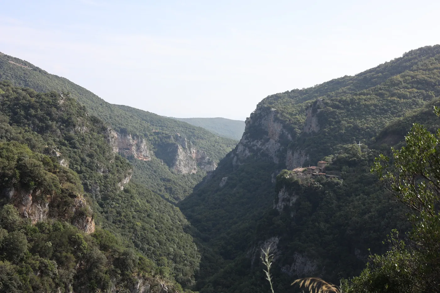
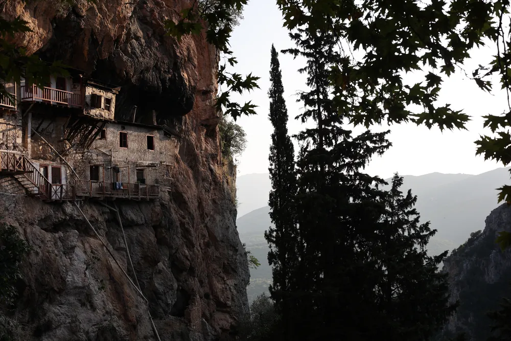
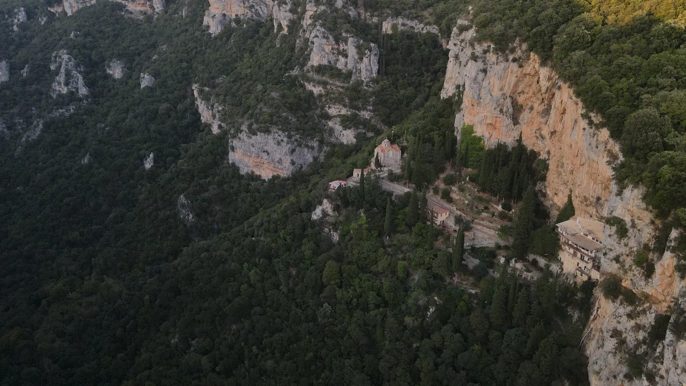
A deep gorge about fifteen kilometres long, between Karytaina and Dimitsana. Monasteries stand in its walls, among them Prodromou and Philosophou, which is why people call it the Mount Athos of the Peloponnese. Paths follow the river, and rafting and kayaking on the Lousios are part of our Discover Arkadia list.
- Length
- About 15 km
- Nearest village
- Dimitsana, 15 km from Vitina
- Season
- Spring to autumn for the river
05 The villages
Dimitsana and Stemnitsa.
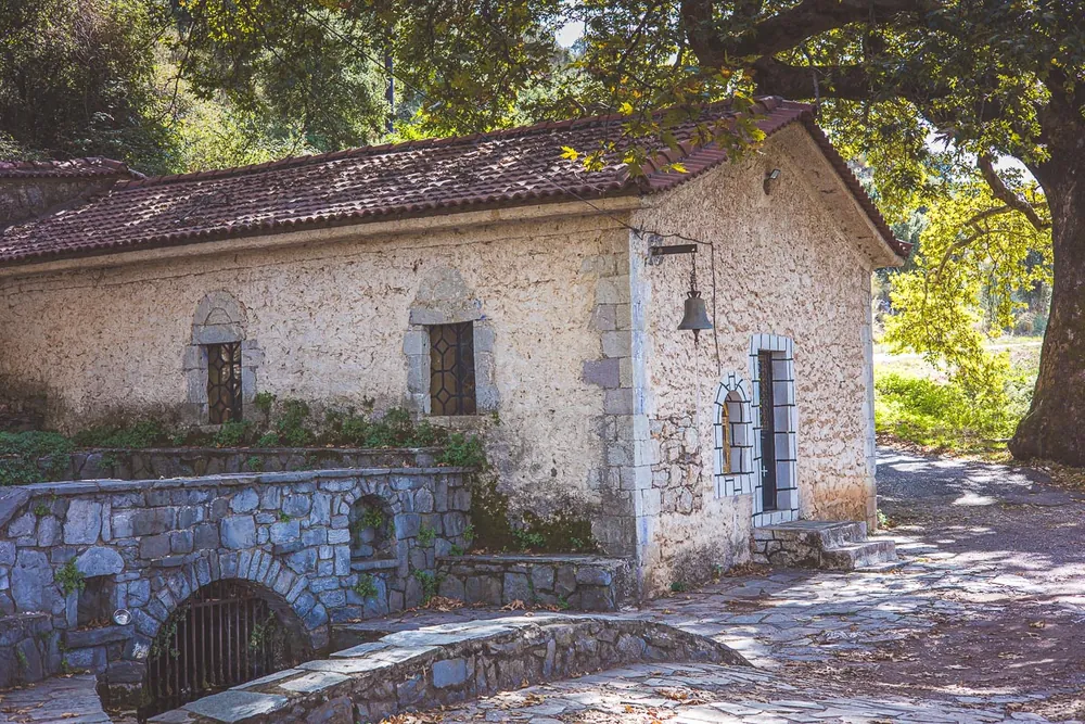
Two stone villages, fifteen kilometres from Vitina and six from each other. Dimitsana has the Open-Air Water Power Museum, opened in 1997 in restored mills, a tannery and a gunpowder works, and a library founded in 1764. Stemnitsa has a silversmith school and a folklore museum.
- Distance
- Dimitsana 15 km from Vitina
- Between them
- About 6 km
- Season
- All year
03 Distances
How far things are from Vitina.
| Place | From Vitina | Good for |
|---|---|---|
| Mainalo ski centre | About 14 km | Skiing, snow |
| Dimitsana | About 15 km | Water Power Museum, library, the gorge |
| Stemnitsa | About 6 km beyond Dimitsana | Silversmith school, folklore museum |
| Tripoli | About 24 km | Shops, the road to Athens |
| Elati | 9 km on the Menalon Trail | Walking |
| Nymfasia | 12 km on the Menalon Trail | Walking |
Distances are approximate and measured from the village. Mountain roads can be slow in winter.
Tell us what you would like to do.
We will help you plan the days, whatever the season.
+30 27950 29014