
ActivitiesOn foot75 km
The Menalon Trail
A waymarked route of 75 km through the Lousios gorge, the slopes of Menalo and the villages of Gortynia.
Read on ↓01 The Menalon Trail
Seventy-five kilometres, nine villages.
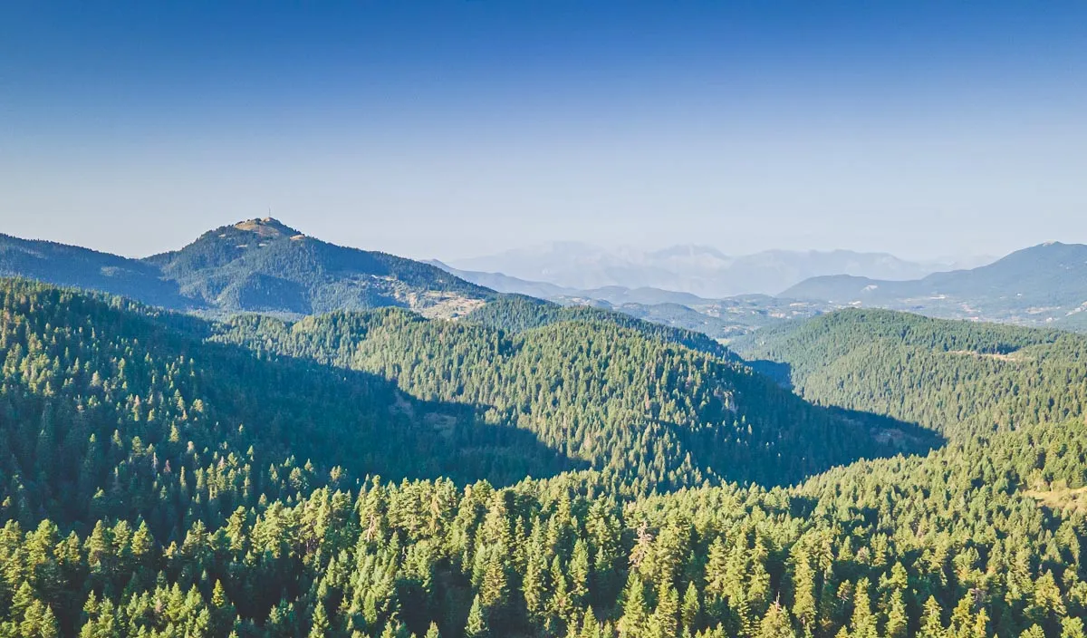
The Menalon Trail crosses the Lousios gorge, the western slopes of Menalo, the valley of the Mylaontas and the south-east Gortynia mountains. It runs for 75 km.
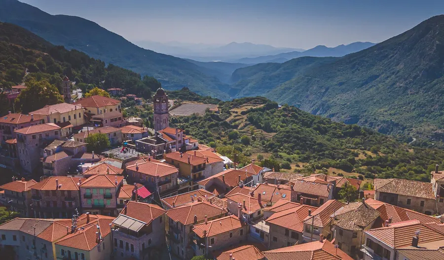
It passes through the villages of Stemnitsa, Dimitsana, Zygovisti, Elati, Vitina, Nymfasia, Magouliana, Valtesiniko and Lagadia, and links with a long network of side paths.
- Length
- 75 km
- Villages
- Nine, including Vitina
- Waymarks
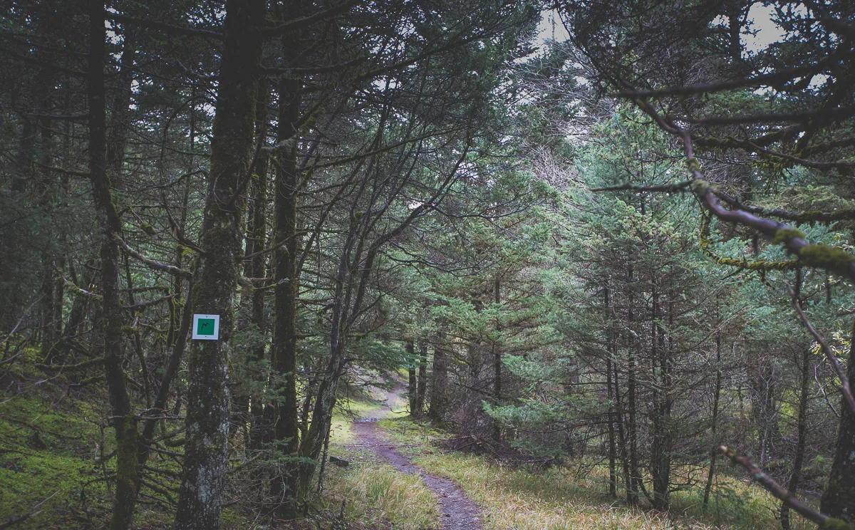
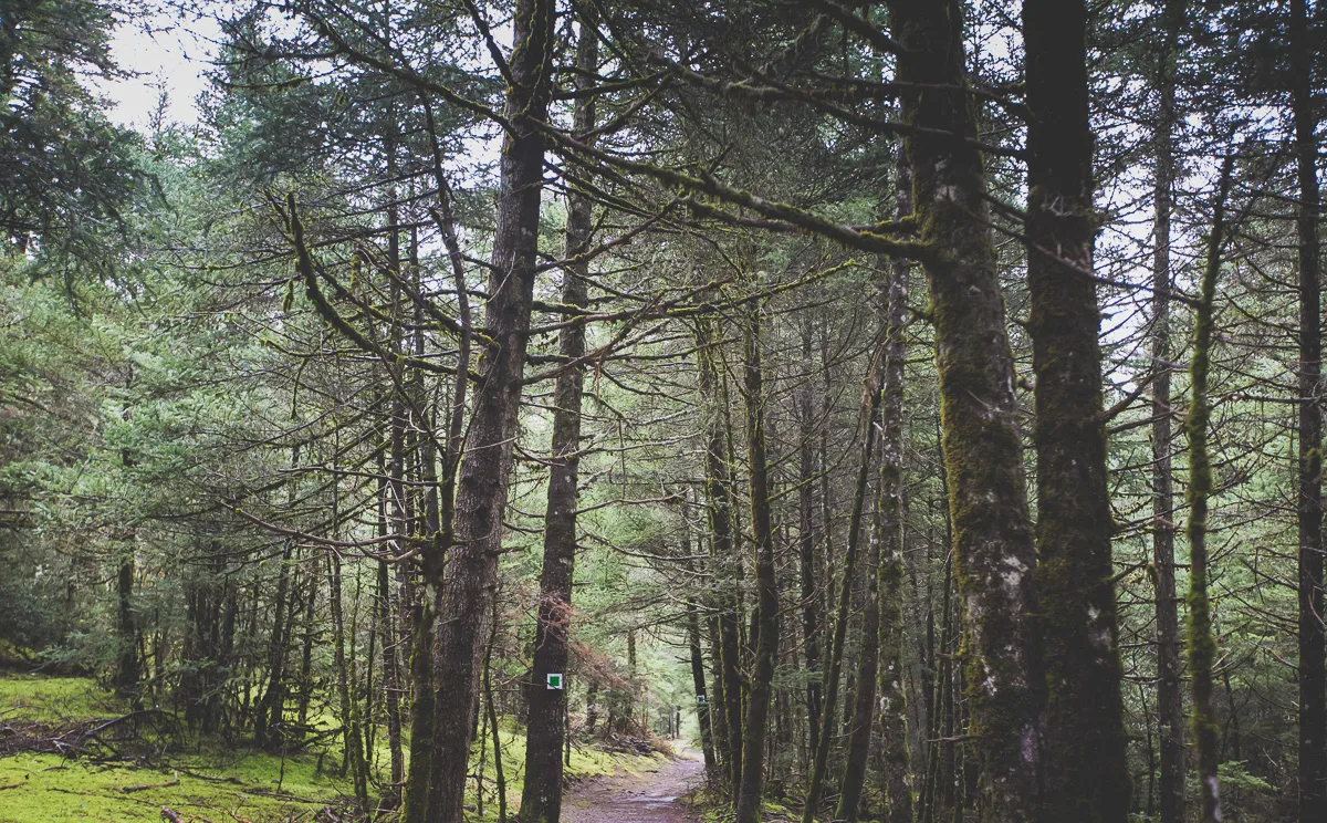
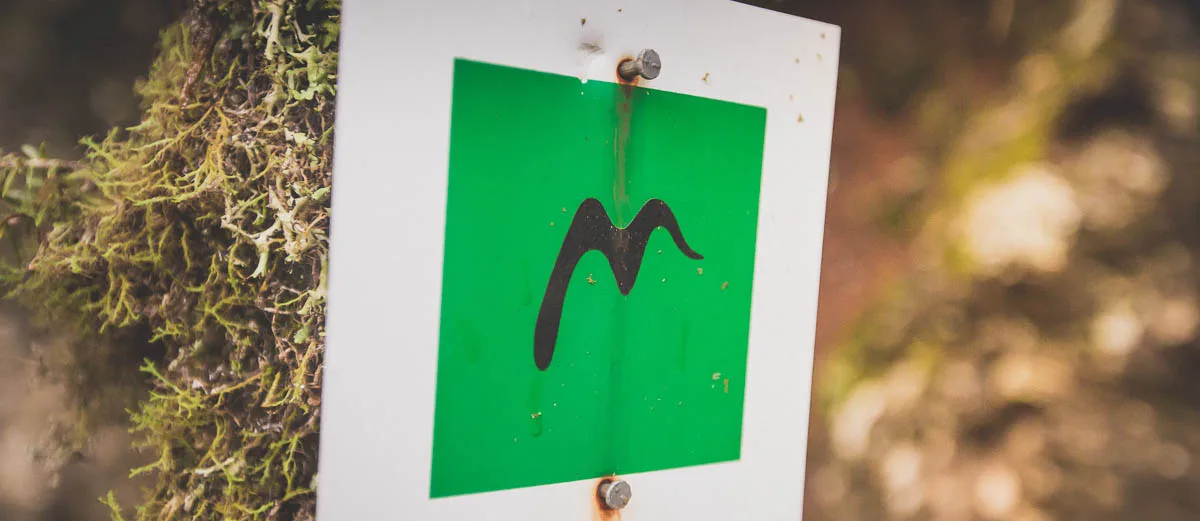
- Painted squares on trunks and stones
- Official site
- menalontrail.eu
02 Close to Vitina
Four sections to start with.
Vitina sits on the trail, so you can walk a section and be back for dinner. We have photographs and notes on four of them: Vitina and Elati, Vitina and Nymfasia, Zygovisti and Elati and Stemnitsa and Dimitsana.
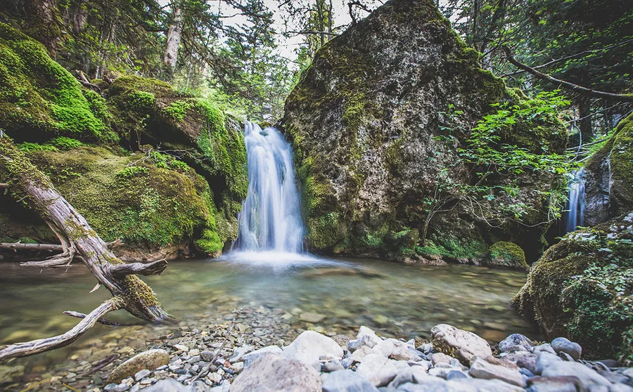
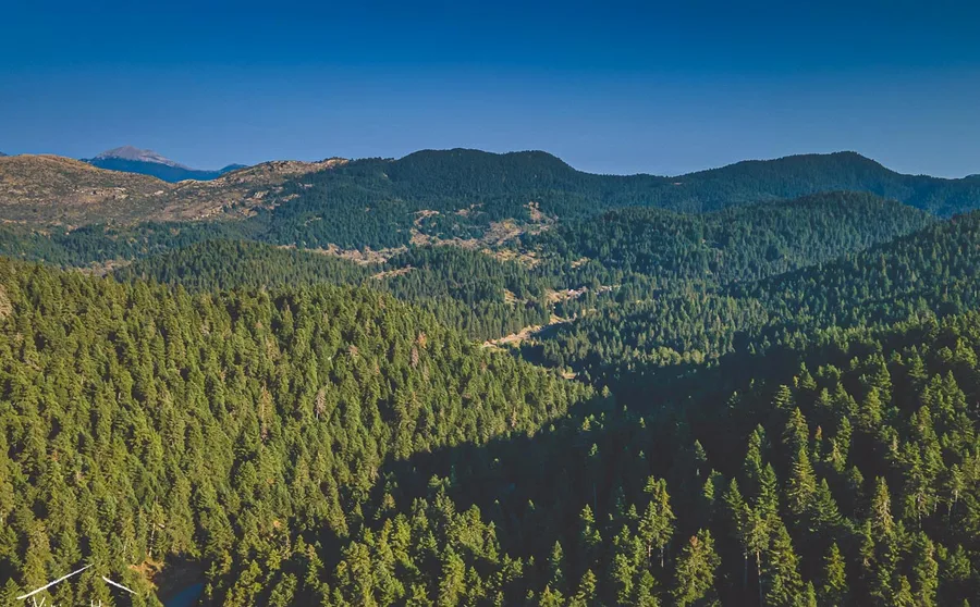
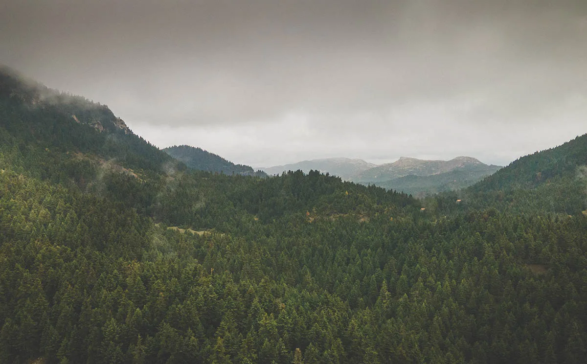
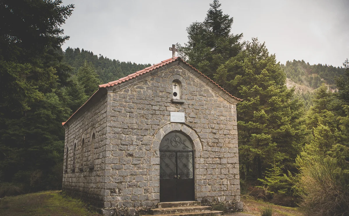
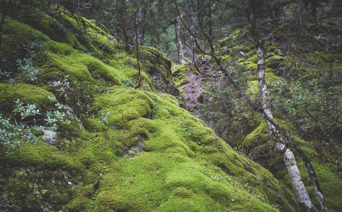
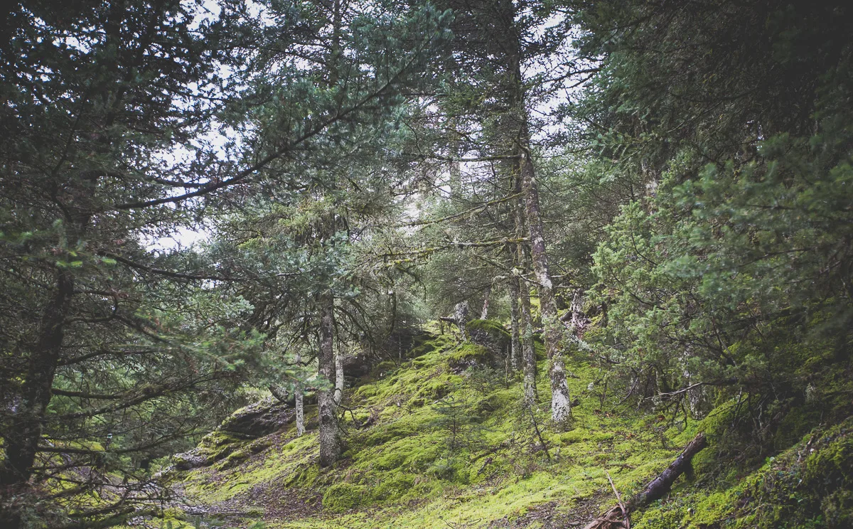
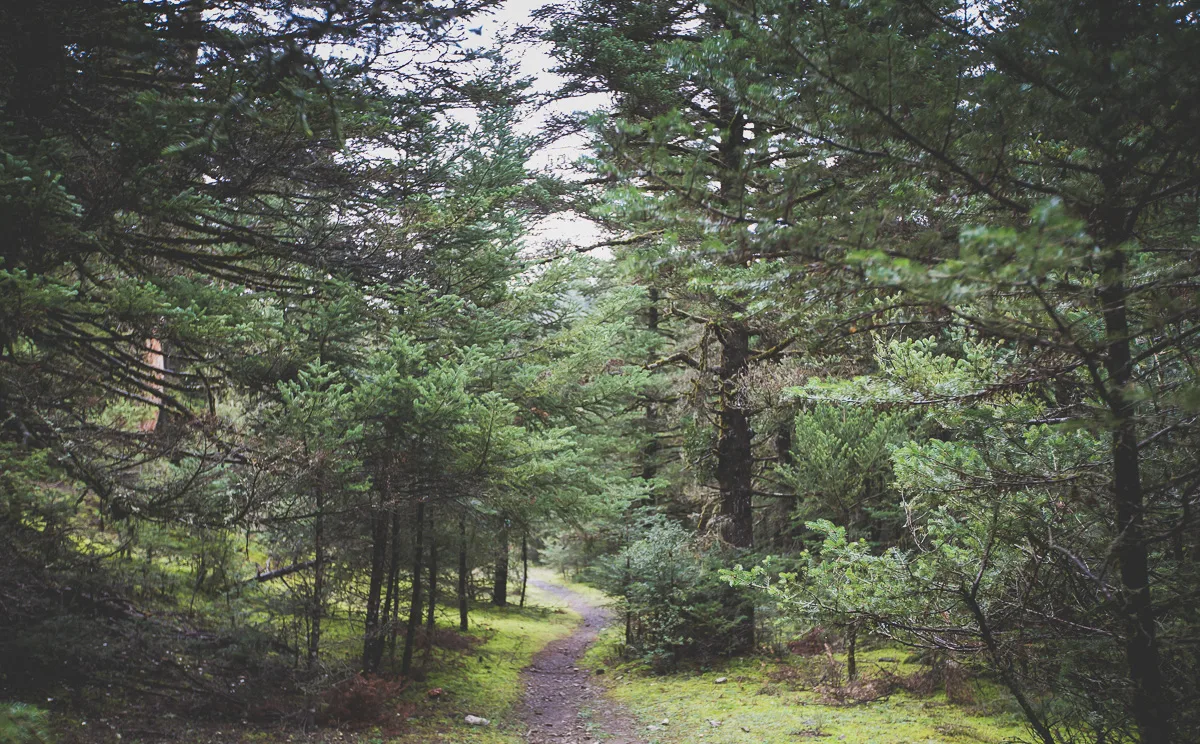
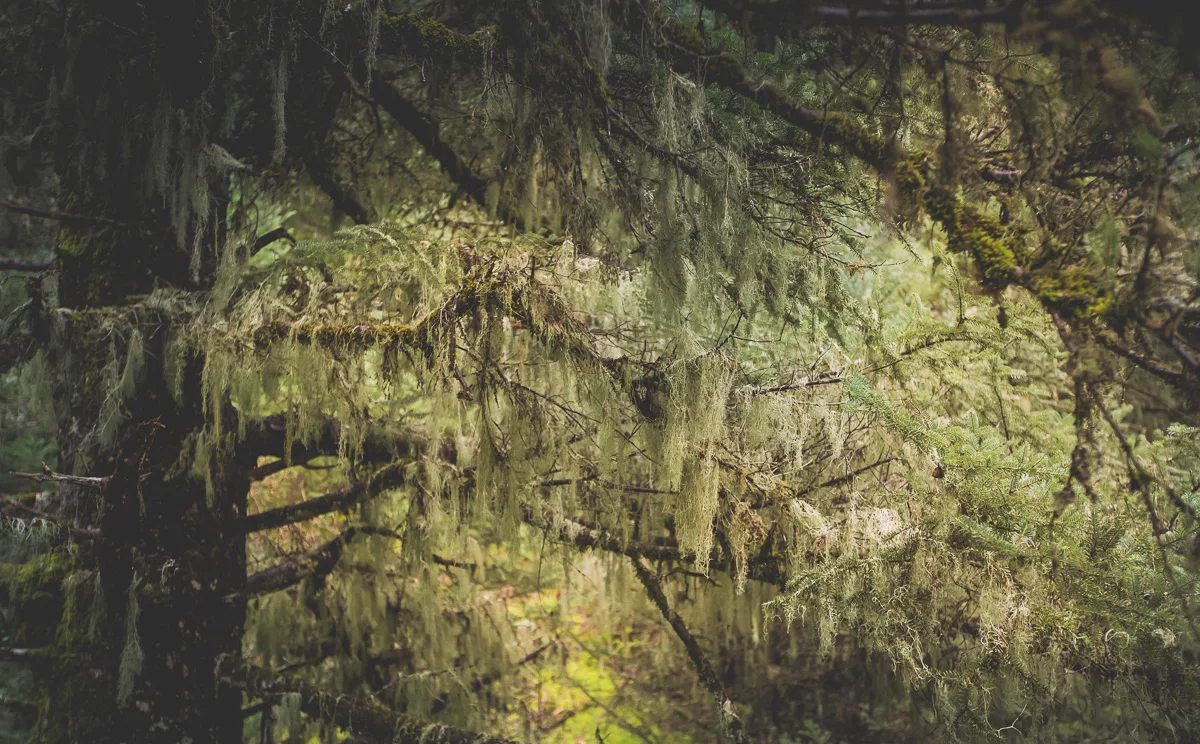
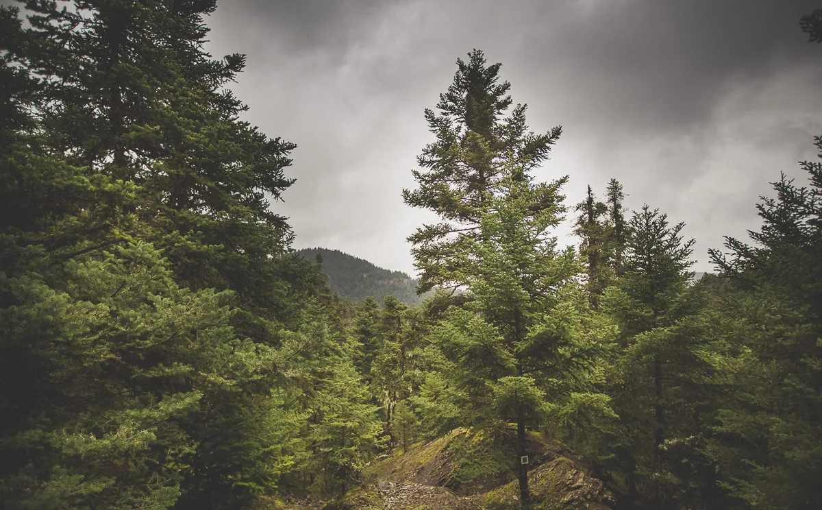
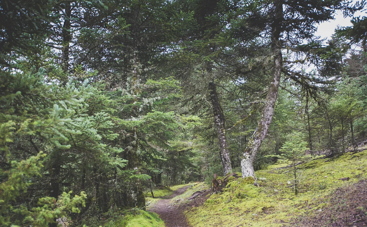
The photographs on this page were taken near Magouliana. For route details, maps and tracks, use the official trail site.
▶ Film
See it moving.
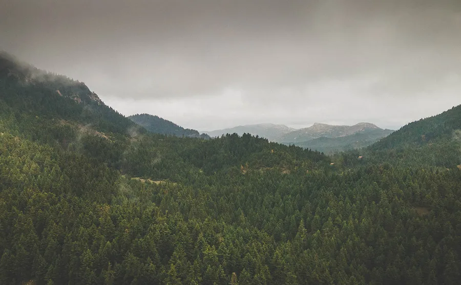
Walking the Menalon Trail. The film plays from YouTube once you press play; nothing is loaded from YouTube before then.
03 Photographs
On the way.
Select a photograph to see it larger.

→ More to do
Keep exploring.